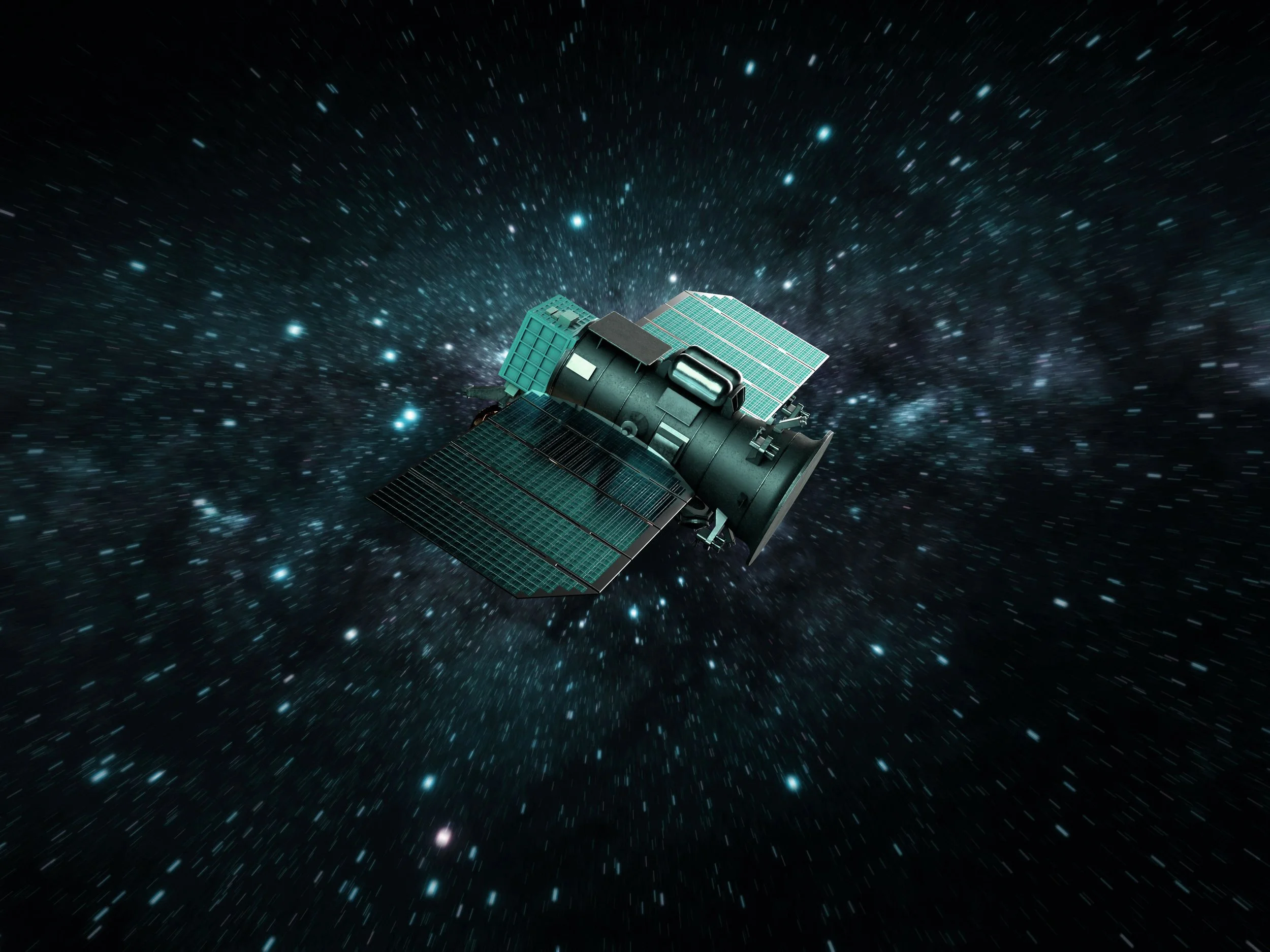
Discover the World from Above
Exploring new horizons, enhancing global insights, and empowering industries through satellite innovation
We leverage satellite imagery to provide a comprehensive view of what is happening across the globe.
Our advanced imaging technology helps people make informed decisions, understand complex environmental dynamics, and discover new opportunities.
Whether you a military strategist, an agricultural specialist monitoring crops, an urban planner designing sustainable infrastructure, or a researcher studying ecological systems, our satellite solutions support the insights you need.
SkyCues strives to bring clarity to the ever-changing world around us, utilizing the latest satellite technology to offer highly detailed images and analyses. By providing accessible and accurate data, we empower users to take proactive measures, mitigate risks, and make meaningful contributions to their fields of work. Our services are designed to be user-friendly, ensuring that experts and non-experts alike can benefit from our cutting-edge imagery.
IMAGING SERVICES

Monitoring
Gain daily access to ultra-high-detail (≈65 cm) imagery across entire countries, combining the power of Sentinel-2 and PlanetScope.
GIS INTEGRATION

Detection
Automatically spot and highlight changes over time — from land use shifts to infrastructure developments — with our advanced detection tools.
DATA ACCESS

Update
Receive enhanced versions of the freshest, highest-resolution imagery within as little as two hours.

Scientific
Global weekly multispectral maps at 2 m resolution, calibrated for scientific accuracy.
VISUALISATION

Integration
Seamlessly stream our enhanced imagery into your GIS tools via our real-time tile server.
ANALYTICS
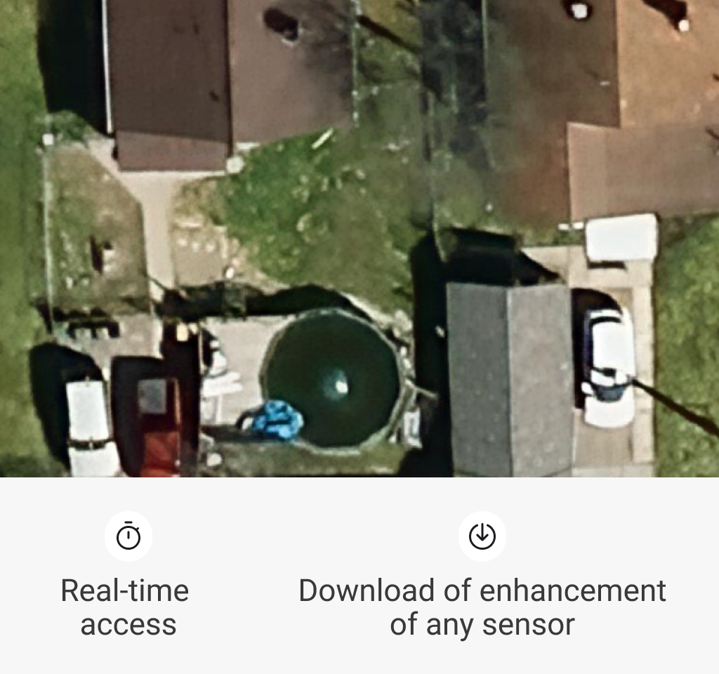
Any source
Instantly access and download enhanced images from any supported satellite sensor in real time.

Spectral
REAL-TIME PROCESSING
ANALYTICS
Compute spectral indices using precise, scientifically validated 2 m data, or push resolution to 65 cm for finer detail.
GLOBAL MONITORING
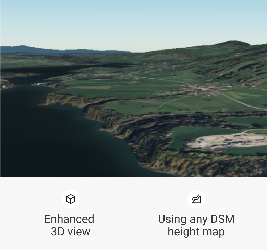
3D
Overlay enhanced satellite imagery on custom DSM height maps to generate immersive 3D visualizations.
CASE STUDIES
-
![]()
Defence Conflict
Mariupol, Ukraine
-
![]()
Defence Conflict
Gaza City
-
![]()
Natural Disaster. Floods
Hurricane Ian - Florida, USA
-
![]()
Foresting. Deforestation
Rondônia, Brazil - Amazon
-
![]()
Recovery from drought
California's central valley


EarthToDate delivers weekly high-resolution satellite images of the entire world, allowing users to monitor any area and make real-time decisions with precise, up-to-date data.